Geolocation Data in Database
Backendless Database supports data types representing spatial values. With these data types your applications can store data which exists in some sort of spatial coordinate system. For example, it can be geo points identifying GPS locations or coordinates of a player in a two dimensional game. At the present moment the coordinates system in which Backendless geometry are stored is WGS 84, also known as Pseudo-Mercator. It is the de facto standard for Web mapping applications and is used by Google Maps, Bing Maps, OpenStreetMap, etc. In a future version of Backendless, you will be able to choose a coordinate system for your geometry data when you manage your database schema.
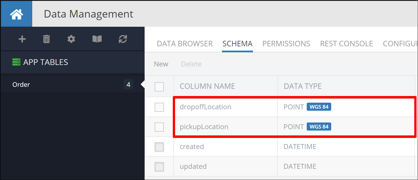
It is important to understand that any spatial data stored in the Backendless database is treated as properties of your data objects. For example, suppose there is the Order database table which contains orders processed by your application. An order object may have the following properties: pickupLocation and dropoffLocation. These locations can be expressed using the Backendless POINT data type:
Order information stored in Backendless can be managed using Backendless Console, which supports different text-based spatial formats and also renders data on the map:

Spatial data types in the Backendless database are primary. It means Backendless stores the spatial data the same way as it does strings, numbers, boolean values or dates. When you work on the schema of your database, you can create database columns of a particular geometry type. For more information, see the Spatial Data Types section.
Backendless Console provides a visual interface for managing the spatial data. You can create new spatial values or edit/delete the ones already in the database. These values can be rendered on the map as points/locations, travel paths (routes) or closed areas (polygons). For more information, see the Spatial Data Management section.
Backendless SDKs provide complete support for working with the geometry data. This includes: