Product and Service Listing and Booking App Blueprint
Looking to implement AirBNB, Yelp, or even ecommerce-style features in your Backendless app? The Product Listings App Blueprint is the perfect place to start.
Pub/Sub Messaging With Geo Data App Blueprint
One of the many specialties of Backendless Database that other no-code solutions lack is the ability to work with location-based, or geospatial, data. With UI Builder, as in our GEO chat app template, you can easily implement location-based features, including your own Google Maps.
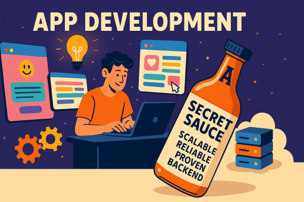
Introducing App Blueprints
Backendless App Blueprints released in Version 6 let you get a jump on your development process by starting with a prebuilt app foundation.
Legacy Geolocation Support Phasing Out
In January of this year, we introduced spatial data functionality to Backendless Database. The purpose of this new data type was to replace the existing Geolocation features on the platform. On October 5th, 2020, this transition will be complete.
Backendless .NET SDK Has Been Updated
In January 2020, we introduced new spatial data types that will be replacing our existing geolocation features. This week, we released an update for our .NET SDK that will allow you to work with those new data types.
Backendless Spotlight on Neurish
In this edition of Backendless Spotlight, we are going to look at a social platform designed to bring together individuals that suffer from epilepsy. Neurish is a U.S.-based company that has built a series of web apps – powered by a shared Backendless backend – to help those battling the disorder.
New Release Featuring Spatial Data and Console Visibility Controls
We are excited to announce a new release for the Backendless platform as we approach the release of Version 6.0. Available now, Release 5.7.0 includes two powerful new features: spatial data and console visibility controls. Read on to learn more.
How to Declare a Relationship Between a Data Table and Geopoint(s)
Data objects in Backendless can be connected to related properties not only in other tables, but also with Geopoints. These relationships may be declared programmatically or using Backendless Console. In this post, we will review the process of declaring a Data-to-Geo relationship in a data table schema.
How to Set Up Sample Geolocation Data (Geolocation Introduction)
Geolocation is one of the most powerful features of Backendless. The geolocation service provides APIs for storing, searching and managing geolocation data. There are three main elements that the geolocation service operates on: geocategories, geopoints, and points metadata.